Experience, you must
Gígjagjá
Nafn hellisins, Gígjagjá tengist sögunni um hafgýgju sem hélt til í hellinum, sjóskrímsli sem var kvenmaður í ánauðum.
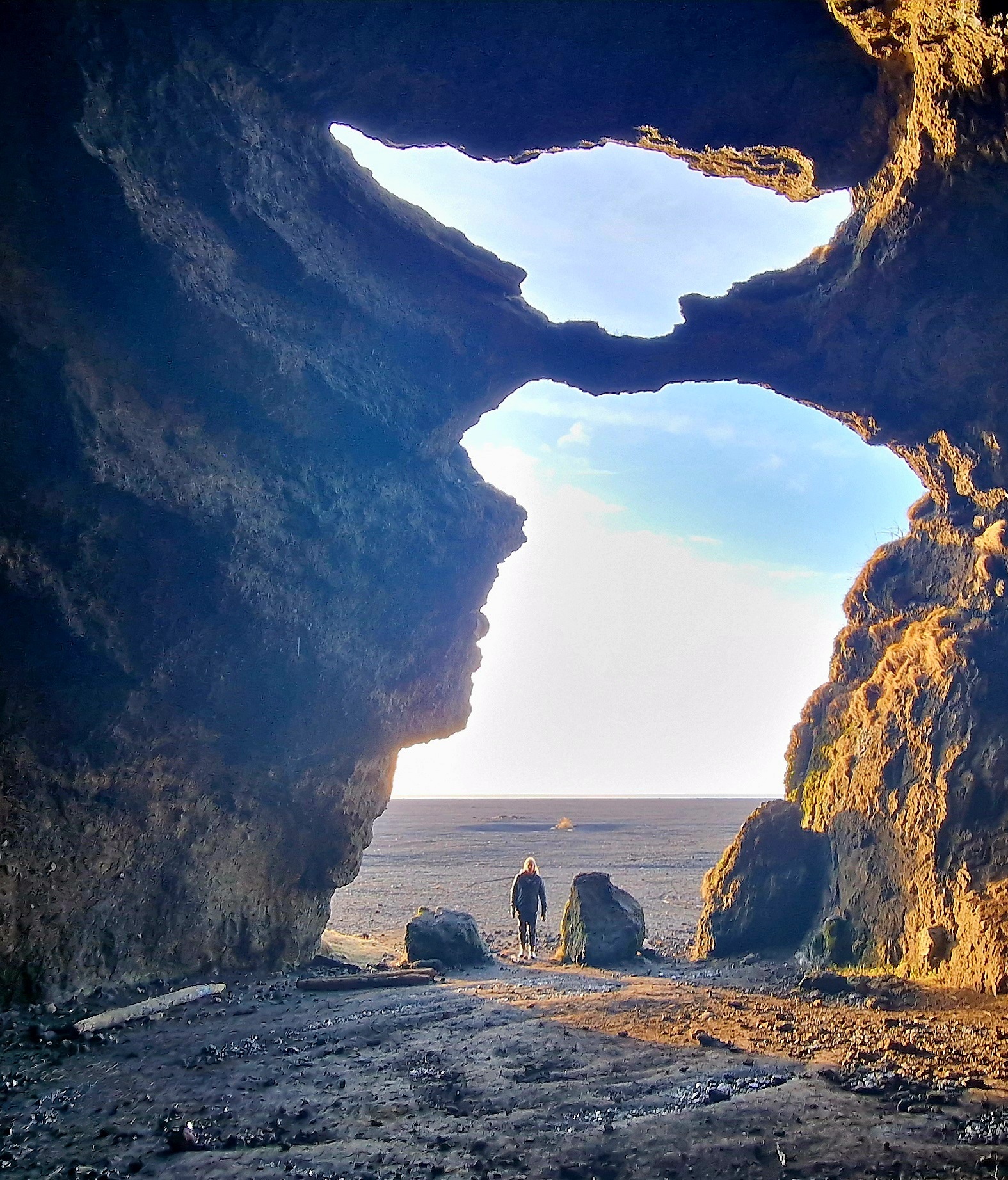
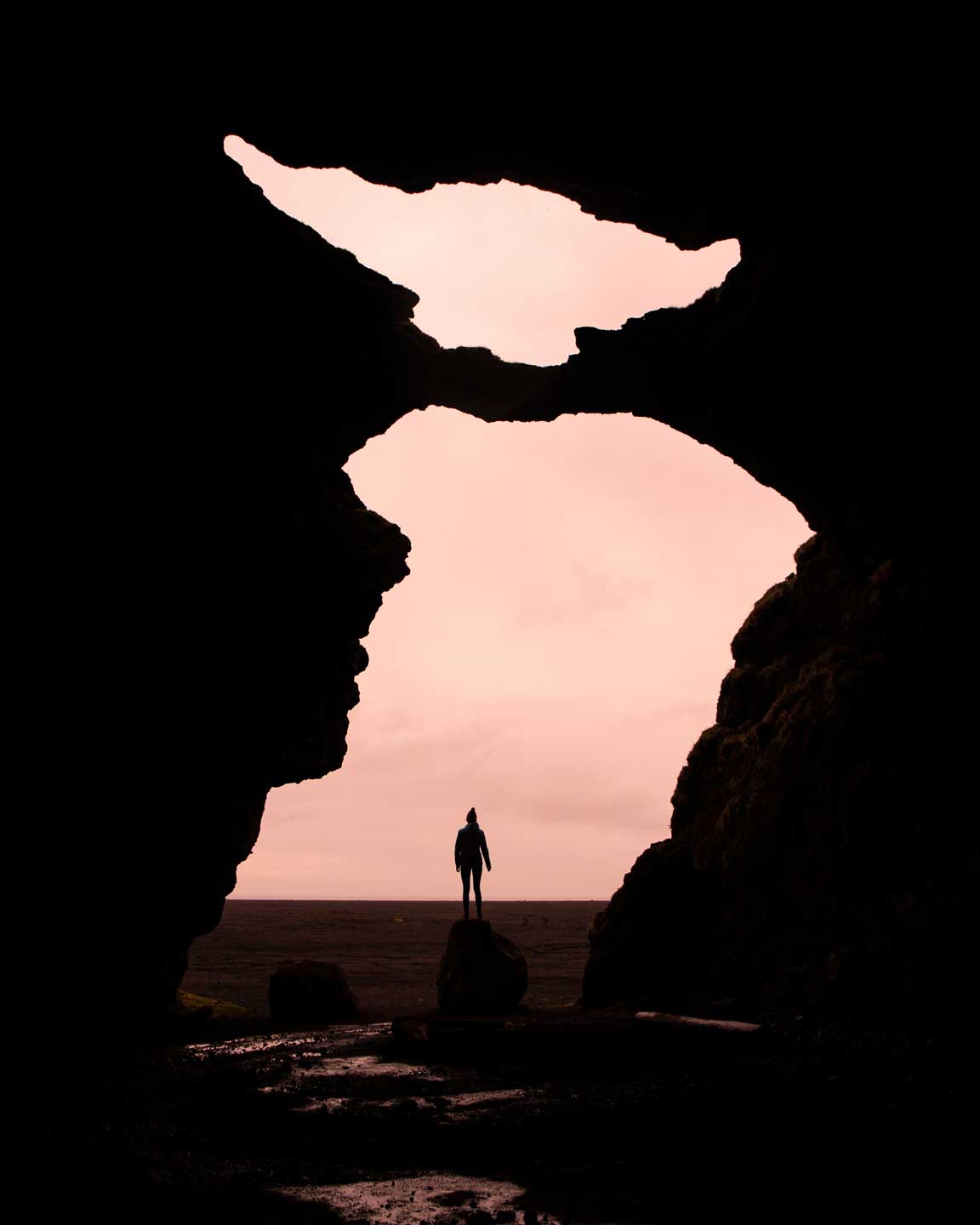
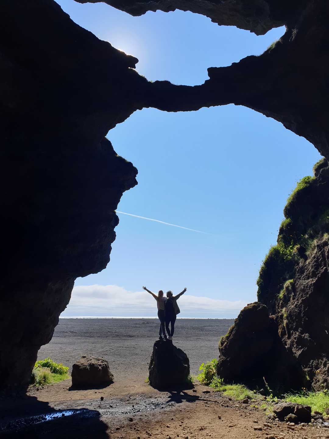
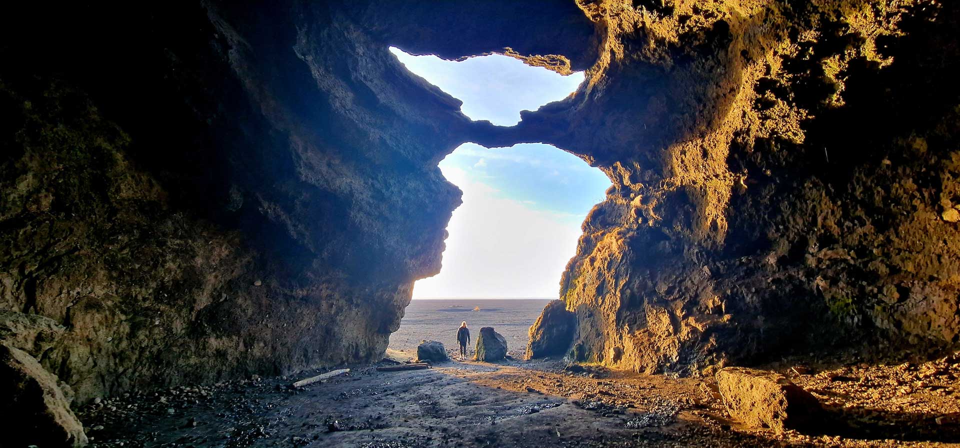
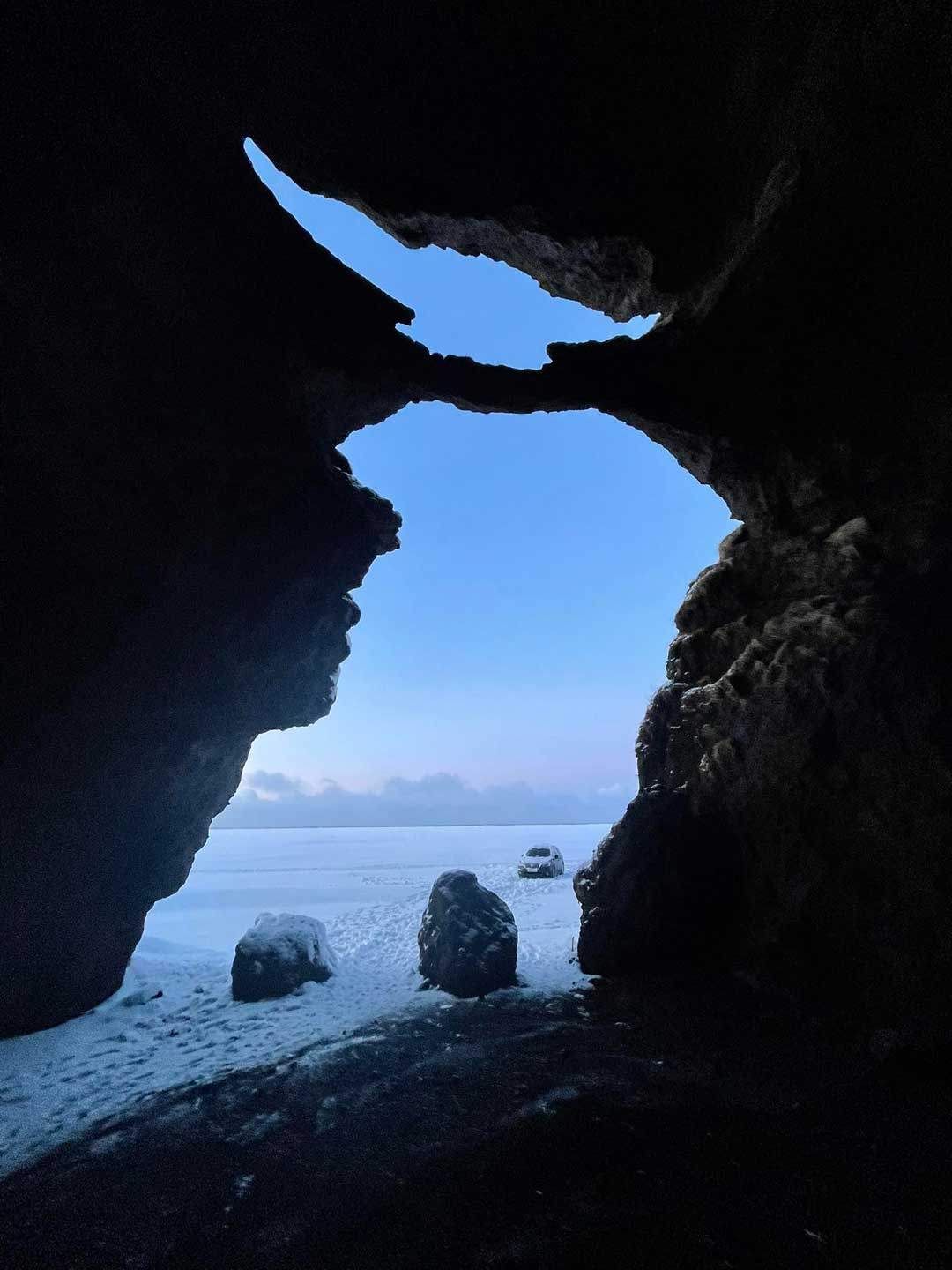
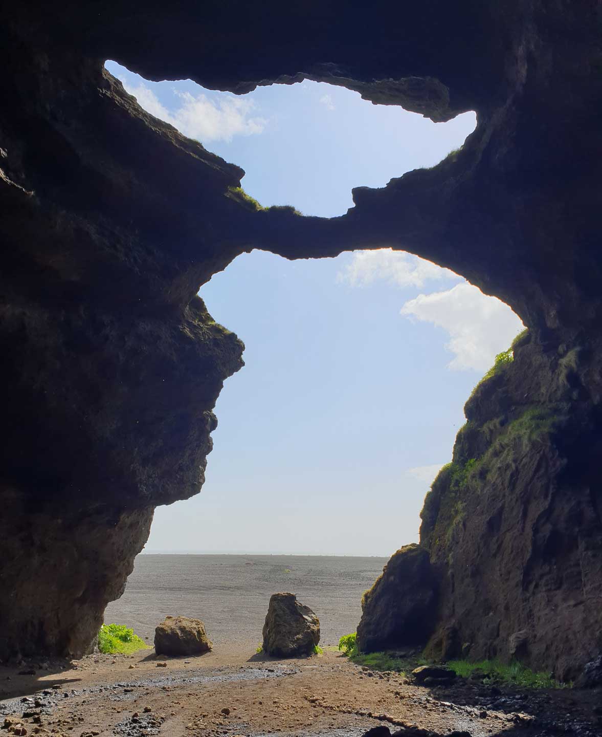
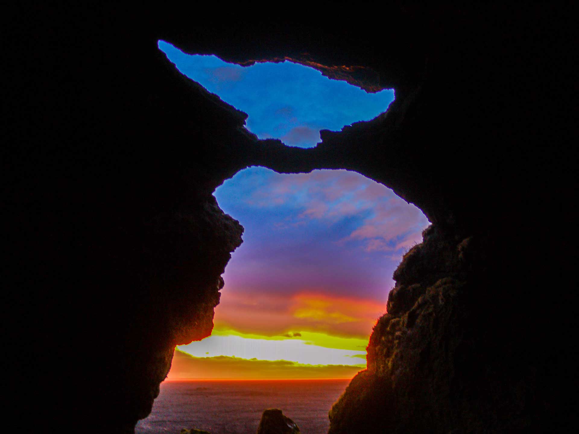
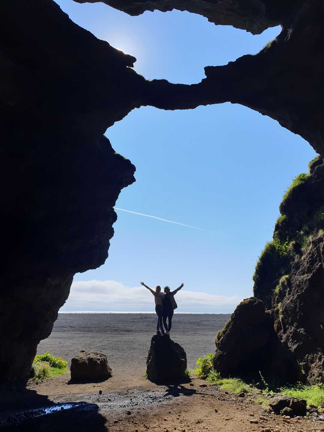
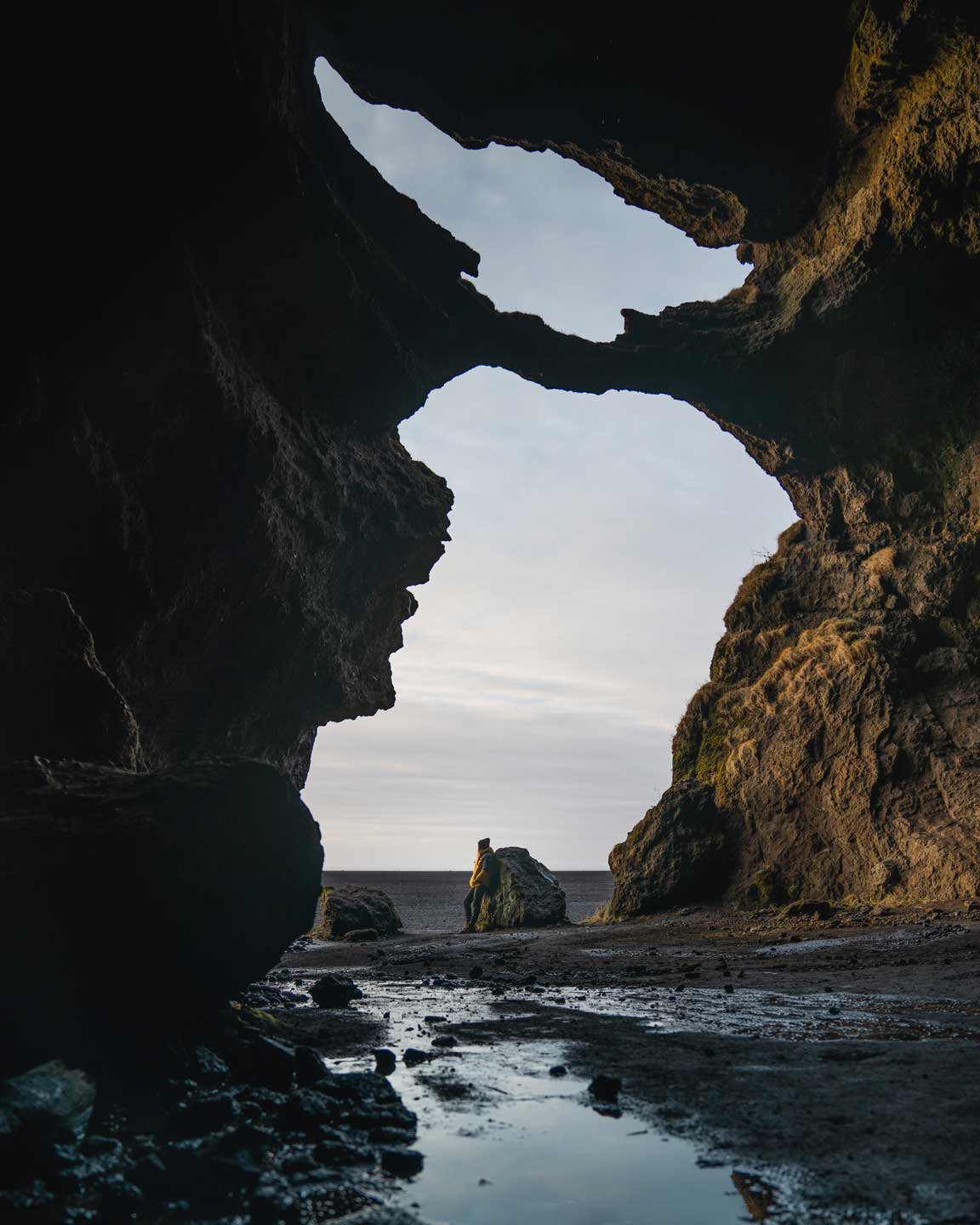
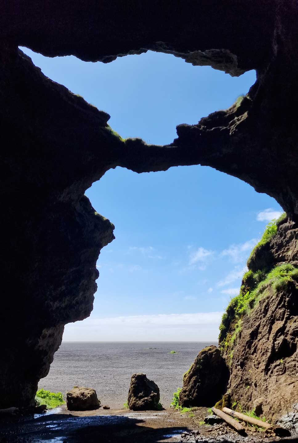
Yoda Cave – Yoda hellirinn er nefndur svo vegna þess að þegar staðið er inni í honum líkist hellismynnið útlínum Yoda úr Star Wars. Hellirinn kemur fram í byrjun á Star Wars myndinni Rogue one. Hellirinn hefur á síðustu árum vaxið mjög að vinsældum meðal ferðamanna á Íslandi.
Yoda cave
Gígjagjá
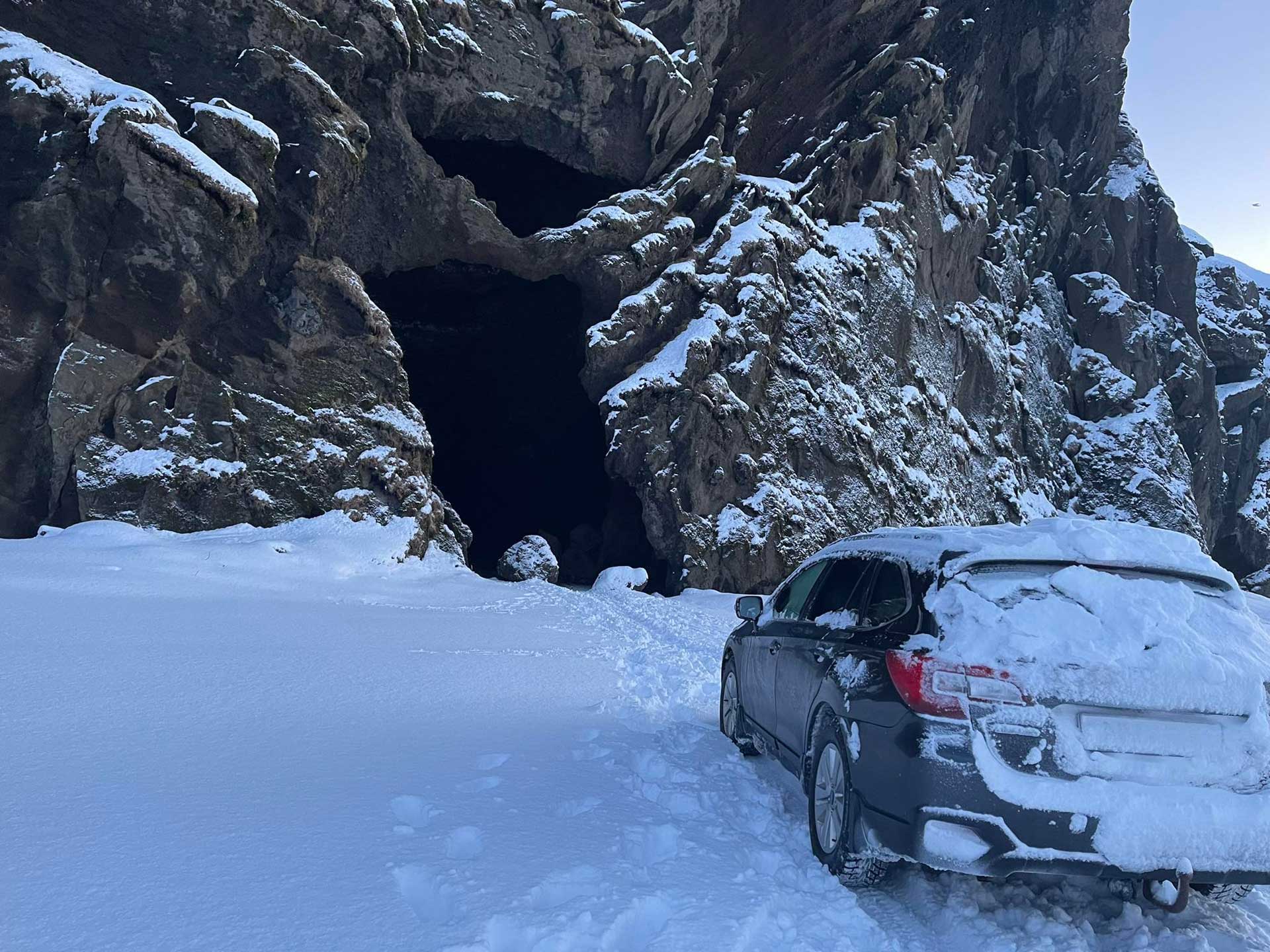
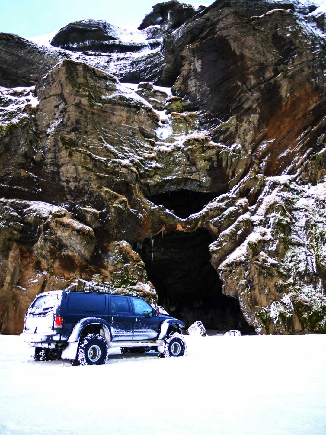
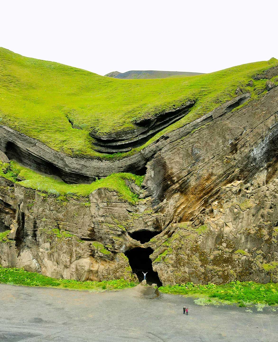
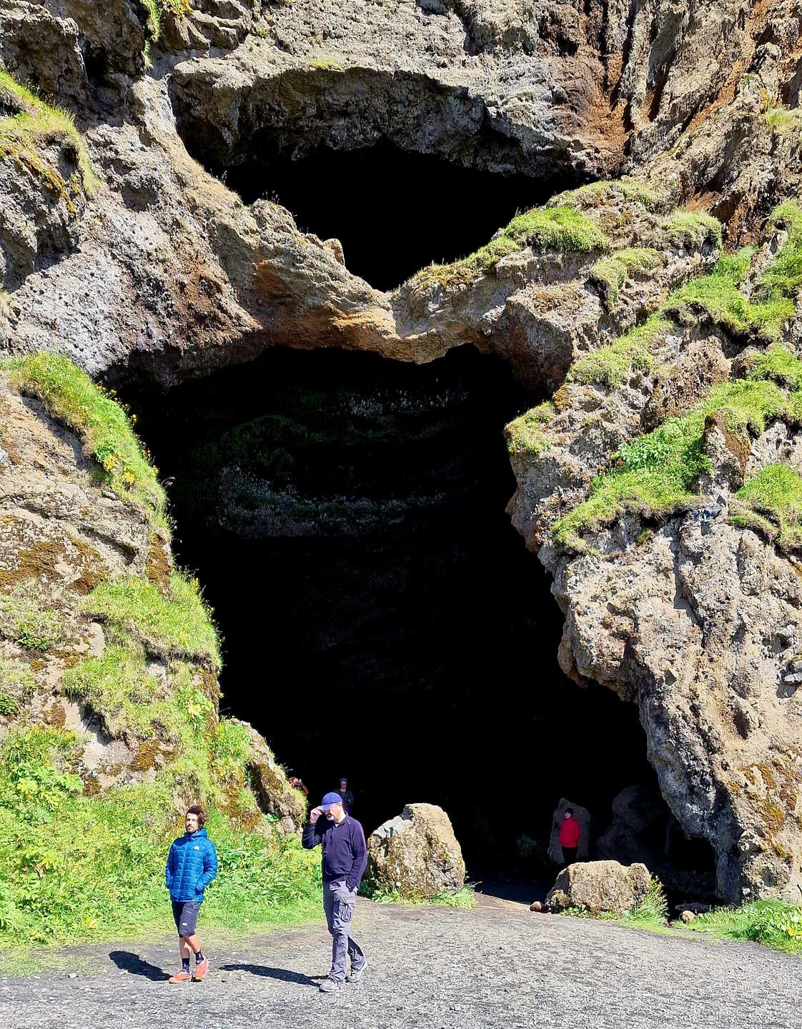
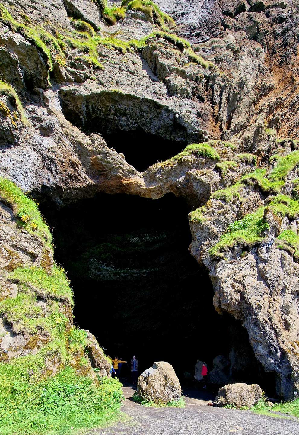
The Yoda Cave is a unique geological formation at Hjörleifshöfði mountain. The original name of the Yoda Cave is actually “Gígjagjá” in Icelandic, though it’s also sometimes referred to as the Hjorleifshofdi Cave.
The name of the cave, Gígjagjá, is related to a story of a sea monster that lived in the cave, a sea monster that was a woman under a spell.
Yoda Cave – The Yoda Cave is named so because when you stand inside it, the mouth of the cave resembles the outline of Yoda from Star Wars. The cave was featured in the movie Rogue One: A Star Wars Story in the film’s opening scene.
In recent years, it has grown in popularity among tourists in Iceland.
63.52621538150076, -18.77796348957493
Explore the south
Hafursey
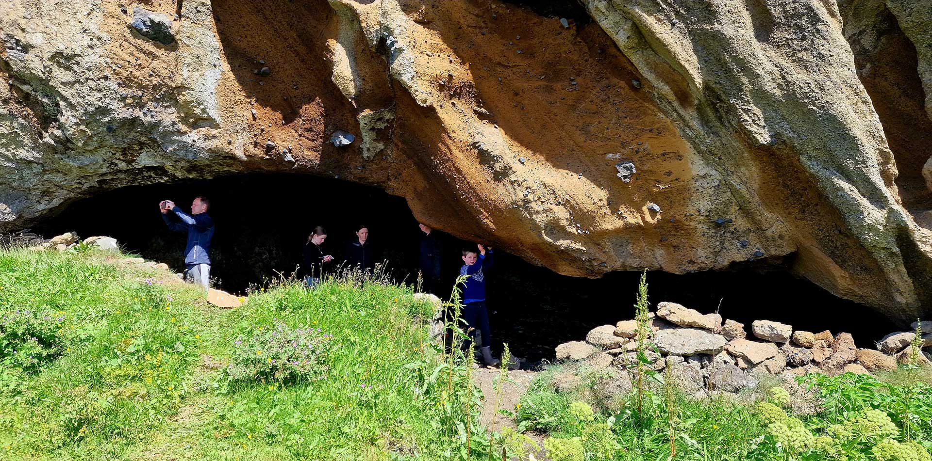
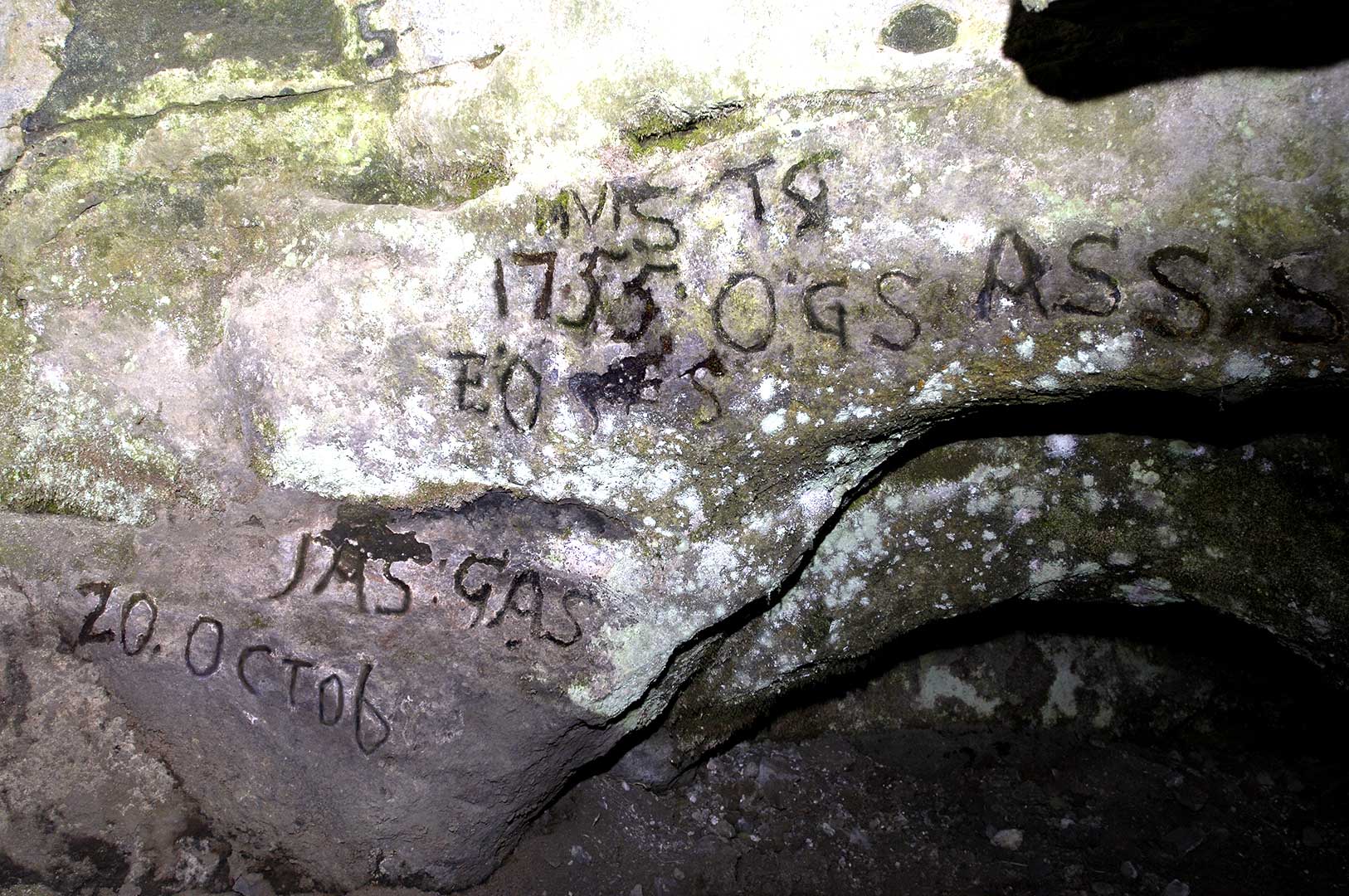
Hafursey er móbergsfjall á ofanverðum Mýrdalssandi, að nokkru klofið í tvennt um svonefnt Klofgil. Vestan gilsins er Skálarfjall (582 m) en á austurhlutanum ber hæst Kistufell (525 m). Sagt er að Kötluhlaup 1660 hafi verið svo kröftugt er það skall á Hafursey að skvettur frá því hafi hlaupið fram úr Klofgili. Nokkuð austan við Klofgil er Réttargil. Vestanvert við það eru tveir hellar, Sel og Stúka, en þar höfðu ábúendur Hjörleifshöfða selstöðu. Þar var einnig fyrrum áningarstaður ferðamanna um Mýrdalssand ofanverðan og kom sér oft vel. Suðurhlíðar Hafurseyjar voru skógi vaxnar fram á 19. öld og sóttur þangað viður til eldsneytis. Skógarhöggsmenn tepptust þar t.d. í vikutíma í Kötlugosi 1755. Höfðust þeir fyrst við í Stúkunni, en fluttu sig Selið sem lá nokkru hærra. Árið 2007 voru hellarnir grafnir út og komu þá í ljós margar gamlar áletranir á bergveggjunum, m.a. ártalið 1755 þegar mennirnir tepptust þar í Kötlugosinu.
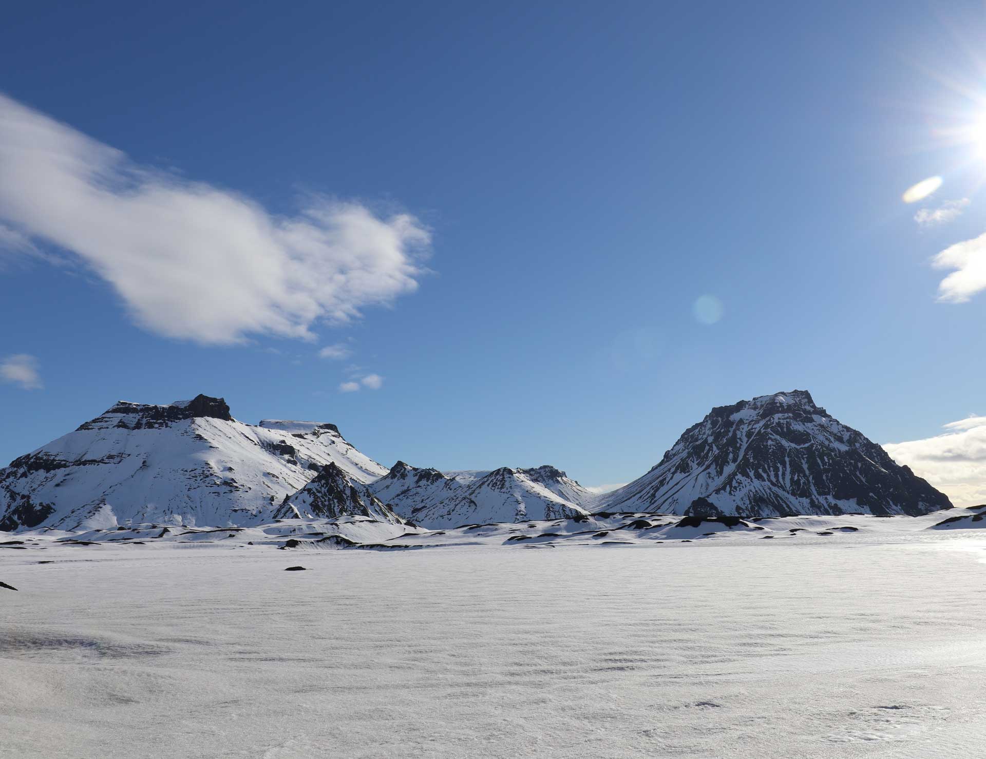
Fjallið varð til á ísöld og samanstendur af móbergi. Eftir lok ísaldar var fjallið tímabundið eyja, sem enn er auðþekkjanlegt af nafninu.
Hafursey
Hafursey mountain
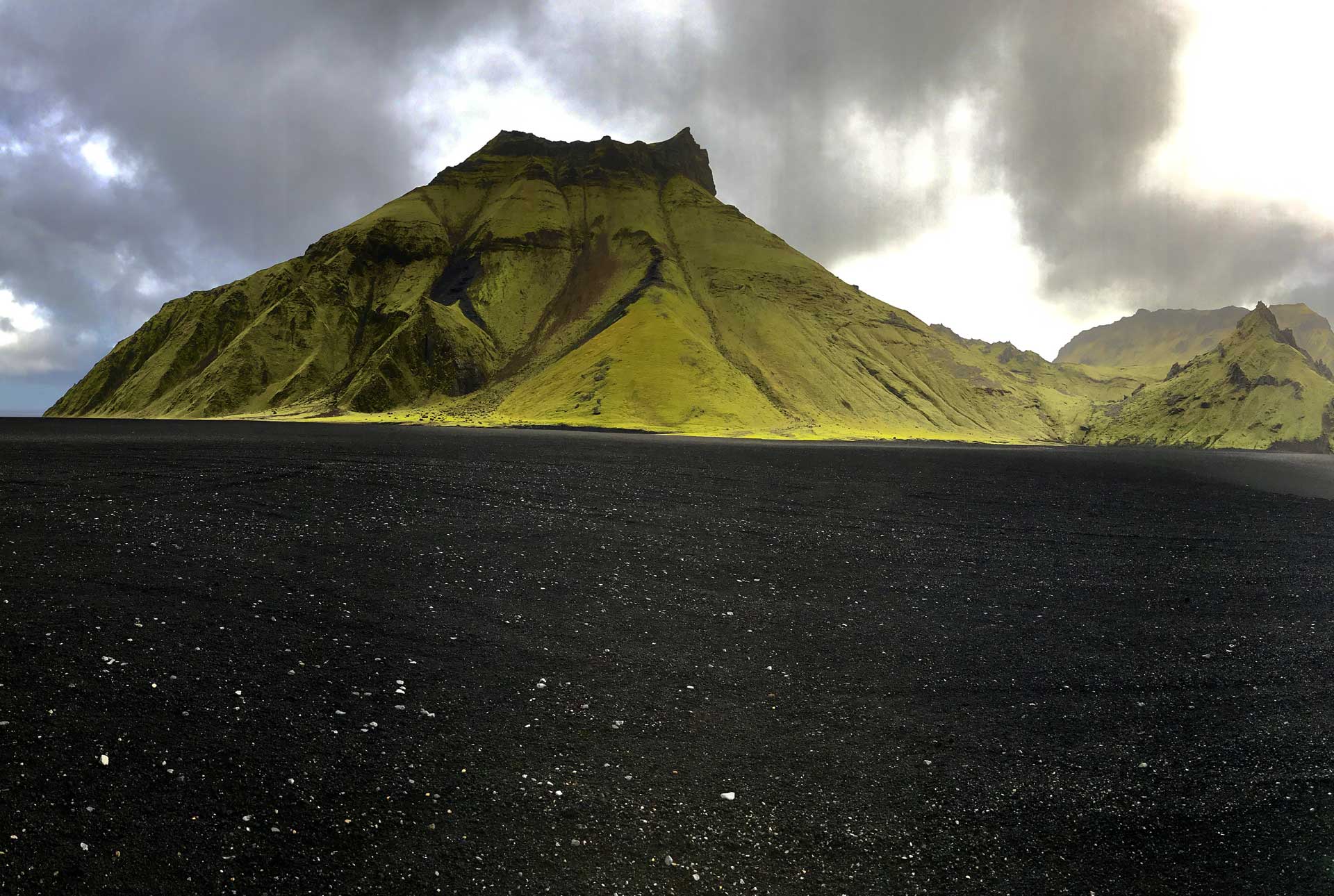
Hafursey is an exceptionally beautiful palagonite mountain on the northside of Mýrdalssandur. It is divided by Klofgil Gorge- the west side, Skálafell, is 582m high, and Kistufell’s east side is 513m high. There, the Fulmar has its nesting grounds, and the slopes are covered with scrub vegetation in an area once forested. The mountain was created during the Ice Age and consists of palagonite. After the end of the Ice Age, the mountain was temporarily an island, which is still recognisable, hence the name (eyja-Island).
Hafursey was used by the farmers from Hjörleifshöfði for sheep grazing all year round and kept in a shelter used during summers until 1854. The shelter, a natural cave used for shelter in Hafursey, is one of the best-preserved remnants in the history of Iceland. In 1755, when Katla erupted, six men took shelter in the cave during the glacier burst. Their signatures, plus the date and year of their stay there, are written on the wall and are visible as you enter the cave.
63.41710756819383, -18.766709765409594
Hjörleifshöfði
Hjörleifur Hróðmarsson
Exploring the Hidden Gem of Hjörleifshöfði: A Journey Through Iceland’s Mystical Landscape.
Nestled in the southern region of Iceland, Hjörleifshöfði is a captivating promontory that boasts a rich history, mythology, and breathtaking natural beauty. Hjörleifshöfði offers an off-the-beaten-path adventure that combines both historical viking history and stunning landscapes.
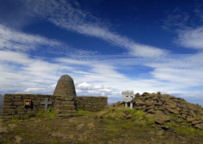
Hjörleifshöfði is named after Hjörleifur Hróðmarsson, the second settler of Iceland. According to the sagas, Hjörleifur was the blood brother of Ingólfur Arnarson, the first permanent settler of Iceland. The history of Hjörleifshöfði is deeply intertwined with the early days of Icelandic settlement. Hjörleifur met a tragic end at the hands of his slaves, and his grave is located at the top of Hjörleifshöfði. This historical significance adds a layer of mystique to the area, making it a fascinating spot for those interested in Iceland’s Viking past.
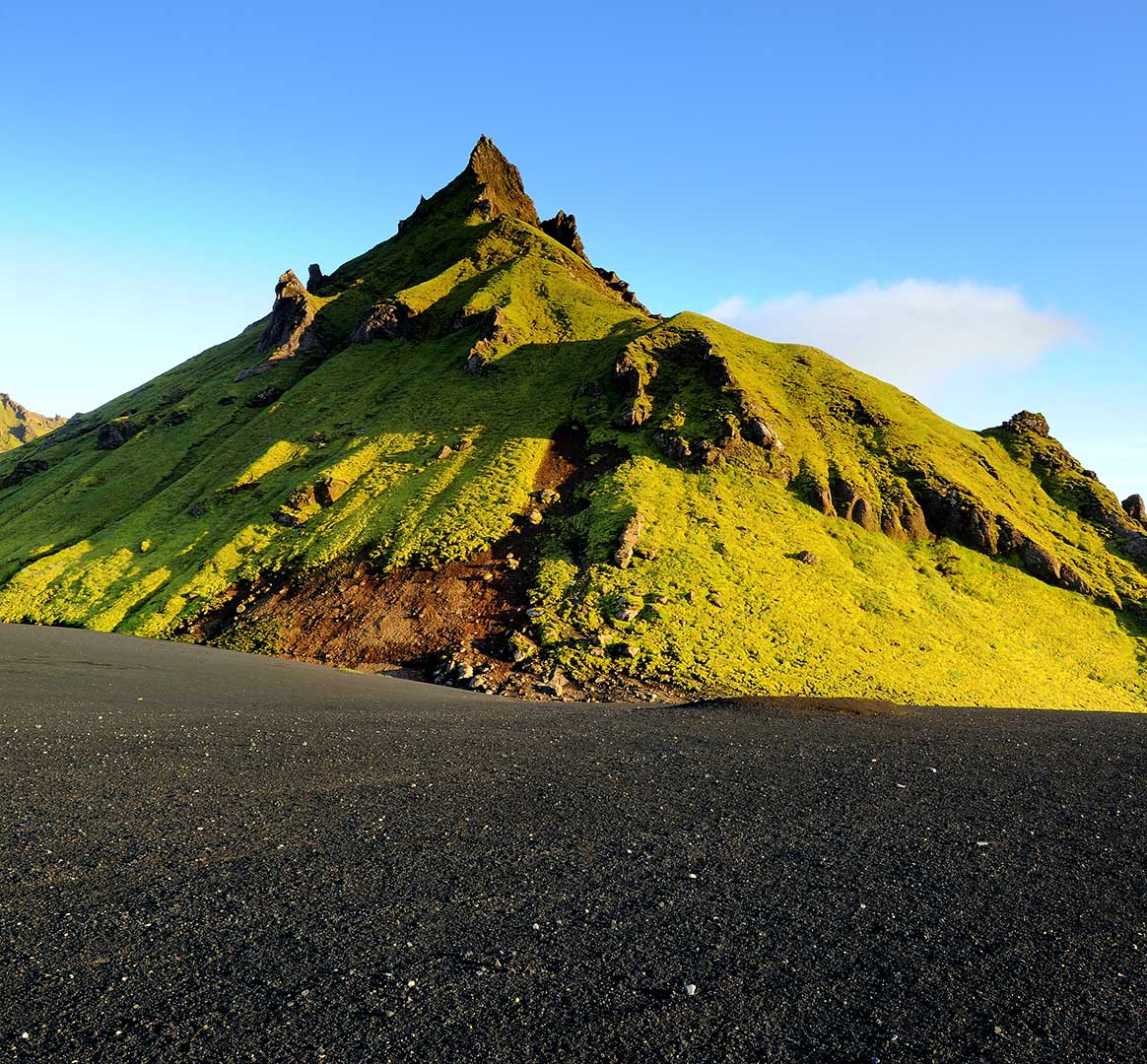
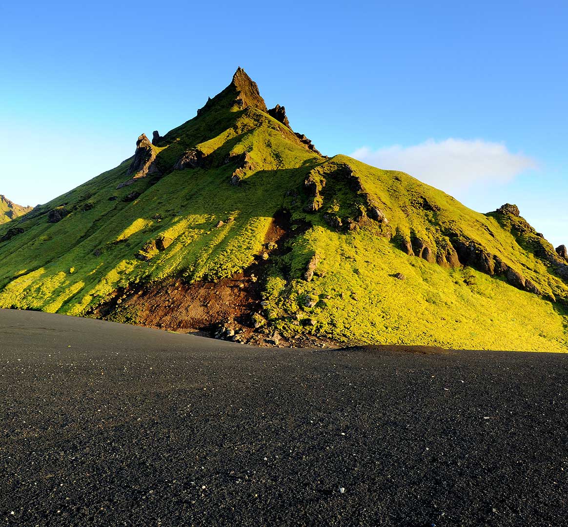
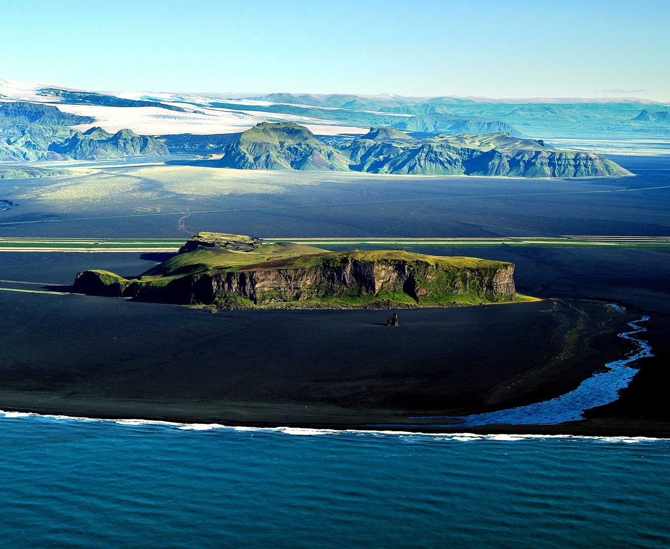
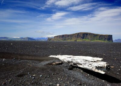
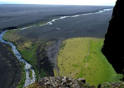
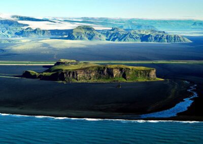
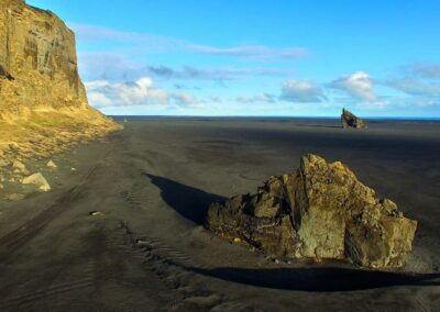
Standing at around 221 meters (725 feet), Hjörleifshöfði is a dramatic headland surrounded by the black sands of Mýrdalssandur. The contrast between the dark sands and the lush greenery of the headland creates a visually striking landscape that is a paradise for photographers. From the top, visitors are rewarded with panoramic views of the surrounding area, including the nearby Katla volcano and the glistening Atlantic Ocean. Hiking to the summit of Hjörleifshöfði is a relatively easy and takes 1-2 hours.
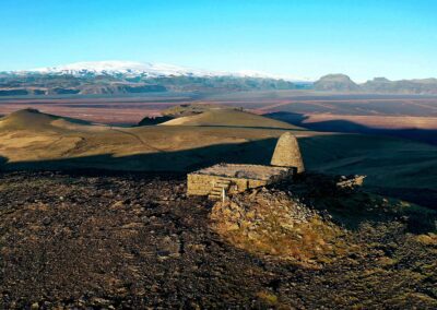
One of the unique features of Hjörleifshöfði is the viking grave and the Yoda Cave (Gígjagjá). In addition to the cave, the surrounding area is dotted with other interesting features such as the remains of old farmhouses and buildings, which tell the story of the hardy settlers who once called this place home. Exploring these ruins gives a tangible sense of the challenges and triumphs faced by Iceland’s early inhabitants.
Getting to Hjörleifshöfði is relatively straightforward. It is located about 8 kilometers east of the town of Vík í Mýrdal, one of the most popular stops along Iceland’s southern coast. The drive itself is a scenic journey through some of Iceland’s most stunning landscapes, with plenty of opportunities to stop and take in the views.
Hjörleifshöfði is a hidden gem that offers a unique blend of history, natural beauty, and tranquility. Its relatively remote location means that it is often less crowded than other tourist spots, allowing visitors to experience the serene majesty of Iceland’s landscape in peace. Whether you’re tracing the steps of Viking settlers, marveling at the panoramic views, or simply enjoying a quiet moment in nature, Hjörleifshöfði is a destination that promises to leave a lasting impression. So, on your next trip to Iceland, take the road less traveled and discover the enchanting allure of Hjörleifshöfði.
Explore the south
Hjörleifshöfði
Nýr og spennandi áfangastaður.
Hjörleifshöfði, staðsett á suðurlandi, státar af ríkri sögu, goðsögnum og stórkostlegri náttúrufegurð. Hvort sem þú hefur áhuga á sögunni, ljósmyndun eða einfaldlega náttúruunnandi, þá er Hjörleifshöfði áfangastaður sem borgar sig að heimsækja.
Hjörleifshöfði er móbergshöfði á Mýrdalssandi, 221 m hár. Hann hefur eitt sinn verið eyja, á landnámsöld var hann orðinn landfastur og fjörður, Kerlingarfjörður, var inn með honum en nú er hann umlukinn sandi og er rúma 2 km frá sjó.
Hjörleifshöfði er sagður kenndur við Hjörleif Hróðmarsson, fóstbróður Ingólfs Arnarsonar, sem kom með honum til Íslands á öðru skipi. Þeir urðu viðskila og hafði Ingólfur vetursetu í Ingólfshöfða en Hjörleifur við Hjörleifshöfða. Um vorið drápu írskir þrælar Hjörleifs hann og menn hans, tóku konurnar með sér og flúðu til Vestmannaeyja en Ingólfur elti þá uppi og drap þá. Uppi á höfðanum er Hjörleifshaugur og er Hjörleifur sagður grafinn þar.
Búið var í Hjörleifshöfða til 1936 en bærinn var fluttur af sandinum upp á höfðann eftir að hann eyddist í Kötluhlaupinu 1721. Hjörleifshöfði þótti góð bújörð og þar voru hlunnindi af reka, fuglaveiðum og eggjatekju. Gönguleiðin upp á topp Hjörleifshöfða er tiltölulega auðveld og tekur um það bil eina til tvær klukkustundir.
Þekktustu kennitleiti Hjörleifshöfða eru gröf Hjörleifs og hellirinn Gígjá sem er betur þekktur sem Yoda Cave. Einnig eru mjög margir áhugaverðir staðir eins og bæjarrústir en búið var í Hjörleifshöfða allt til 1936. Rústirnar gefa áþreifanlega tilfinningu fyrir þeim áskorunum og sigrum sem landnámsmenn Íslands stóðu frammi fyrir á þessum tíma.
Hjörleifshöfði er staðsettur um það bil 8 kílómetra austur af þorpinu Vík í Mýrdal, einn af vinsælustu viðkomustöðum meðfram suðurströnd Íslands.
Hjörleifshöfði er leyndur gimsteinn sem býður upp á einstaka blöndu af sögu, menningu og einstakri náttúrufegurð.

